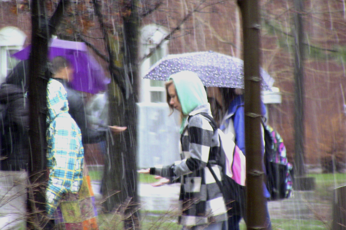
Flooding in valley possible if wet weather continues
Warnings of the first floods in Logan and surrounding area since 2006 abounded in a presentation given by National Oceanic and Atmospheric Administration (NOAA) Hydrologist Brian McInerney, Tuesday, at the Logan City Municipal Meeting at City Hall.
Following the meeting, McInerney said current NOAA projections, based on runoff rate from melted snowpacks from the surrounding mountain range, foresee the possibility of summer homes in the Logan Canyon area, below the Logan River, and perhaps residences in the valley below the Blacksmith River, to encounter problems.
“This year, if temperatures remain mild and we have an absence of heavy rain, we’ll come out with no problem,” he said. “But if the weather remains cold and wet as it did in March up until late May, we’ll definitely have some flooding issues.”
Such problems were caused by a jet stream from several Pacific regions into the nation’s midwest and east coast regions, resulting in a bad case of La Nina, McInerney said.
“We had bad air in absence of storms, then a high pressure retrograde that opened the door for storm activity,” he said. “That went away but was replaced by two big low-pressure systems that moved through area and dumped tons of snow into the mountains.”
McInerney said the current snowpack in the mountains in Logan is 145 to 150 percent of the average snowpack amount for this time of the year. The rate is right on pace with the valley’s record snowpack amount in 1982, which resulted in an overflow above standard river levels to the point of being just 0.4 feet from flood quota. In contrast, in May 2006, rivers were flooded as high as 5.2 feet above the standard level.
McInerney’s presentation revealed that the threat has been a rapid increase from the precipitation rate of October 2009 to January 2010, when the rate hovered between 50 and 89 percent in the valley, according to studies conducted by the NOAA. However, temperatures 5-7 degrees above average beginning in January 2010 resulted in a 129-150 percent runoff volume in various rivers throughout the valley, most prominently the Logan and Blacksmith Rivers.
Following La Nina, which produced slightly colder than normal temperatures, early snowfall in affected areas resulted in a 644 percent precipitation from average in Utah’s Virgin River Basin in late December of last year. The storm included 19 inches of precipitation there in a three-day period.
The outpouring brought abnormally cold and wet conditions throughout the Pacific northwest before scattering her remains throughout the Rocky Mountains. As a result, the valley is also encountering its highest soil moisture in eight years, McInerney said.
Council member Dean Quayle acknowledged the threat, but said he feels with many necessary precautions established, the city would be ready.
“You know, we could have serious problems, but we could also have no problems at all,” he said. “There’s potential for flooding this year, so now we’ve just got to hope for a moderate springtime so we don’t get a flood. I think as you saw, the city is well aware of it, are doing what they can ahead of time. They know where the flooding potential is very high.”
Quayle said many sandbags from the most recent flood are still in place, while more would certainly be added if the runoff does rise above standard levels.
Mark Nielsen, City of Logan Public Works director, said each spring season presents unique challenges and opportunities to learn about what nature has to throw at the city.
“Basically, every year is a different set of circumstances,” he said. “Generally, it’s a matter of a few little things that make a big difference in certain areas. So we’ll try to have all those things addressed and hopefully (flood management) will go very smoothly. Hopefully we don’t learn anything new this year. That would be great.”
Nielsen said he felt unsure whether or not he could provide a thumbs up to the likelihood of unwelcome water headed into the city.
“We thought we’d have a lot of problems a few years ago and we didn’t, so I couldn’t say what the likelihood is,” he said. “If (NOAA) could predict the weather six weeks out, we could say, but until they can project out that far, I have no idea.”
Nielsen said city administration and citizens alike ought to be on the lookout.
“Just keep track of it through our website and when (the river flow) comes up, we won’t have a lot of notice, so we will have to react to a lot of different areas very quickly. That’s what we’re gearing up for now,” he said.
After the meeting had concluded, McInerney issued one warning.
“Regardless of flooding, every year we have people die crossing steams with water that is extremely cold, or not getting out before hypothermia comes fast,” he said. “Little kids die every year from playing in these rivers, so monitor your children closely. Keep them away from treacherous rivers. People are going to die most likely either way, and that’s the worst case of this whole thing.”
Tracking of snowpack and resulting runoff levels can be viewed at www.loganutah.org or at the National Weather Service’s website, www.weather.gov.
– rhett.wilkinson@aggiemail.usu.edu

