
USU researcher joins NASA to help farmers
Utah farmers and NASA are working together to help farmers save money and become more environmentally friendly.
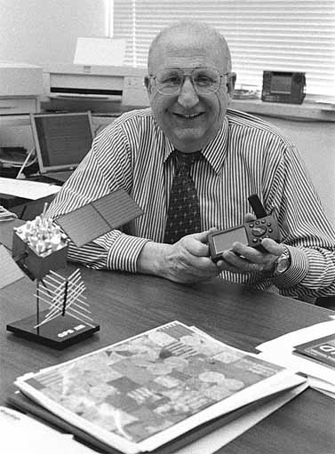
Associate Dean of Utah State University’s College of Agriculture Phil Rasmussen said his research in using satellite imagery to map the amount of nitrogen fertilizer on fields can help farmers locate areas of the crop that need the fertilizer while lowering the amount used overall.
Farmers’ use of nitrogen fertilizers in crops like wheat has the effect of increasing protein in wheat, but nitrogen can seep down into the water table in some areas of the country and poison the water supply, Rasmussen said.
“The old standard practice was to come into a center pivot [field] and just put the same amount of fertilizer across the whole field,” Rasmussen said. “Now with this type of fertilizer application map, you divide up your field depending on the soils. You put more where it needs it and less where it doesn’t. By targeting the application, it’s not only cheaper, but it’s more profitable, and then there’s less likelihood of any kind of pollution. It’s kind of a win-win situation.”
The soil can tell how much fertilizer to use, Rasmussen said. Darker soils seen from space indicate there is more organic matter in the soil, and therefore less need for nitrogen fertilizer. Using the GPS (Global Positioning Satellite) system on the field, computers can locate where the satellite indicated the field needs fertilizer, Rasmussen said.
Growing plants reflect near-infrared radiation, so they will show up very well in a satellite image, Rasmussen said.
The plants’ growth can be measured on the photo and can show exactly where in a field a farmer needs to help.
USU was the first university to work with NASA to train farmers in the technology by downloading the imagery to tell the farmers what is needed in their fields, Rasmussen said.
Farmers are wary of the technology, Rasmussen said. He said the problem is few farmers know space imagery can help them, and many who do find it expensive.
But Rasmussen said one of his jobs is getting the word out by educating USU’s Extension agents in every county in Utah, so they in turn can educate the farmers.
And prices are slowly lowering.
“There’s more and more satellites up there, [and] it’s driving the cost per image down,” Rasmussen said. “Farmers are starting to get interested in it now because of the cost of images. Instead of a $1,000 per image, you can get an IKONOS image, which is 580 acres, which is just right for one farm, you can get it for just $260.”
Currently, NASA is experimenting with a tractor linked to the GPS system.
The computer inside knows exactly where to put fertilizer because the GPS link sends it information from a satellite image.
The images come from private satellites like the IKONOS satellite, which has been recently featured for its photos of the grounded military plane in China. IKONOS images can be seen at www.spaceimaging.com, the satellite’s Web site.