Highlander 2024
Letter from the Editor
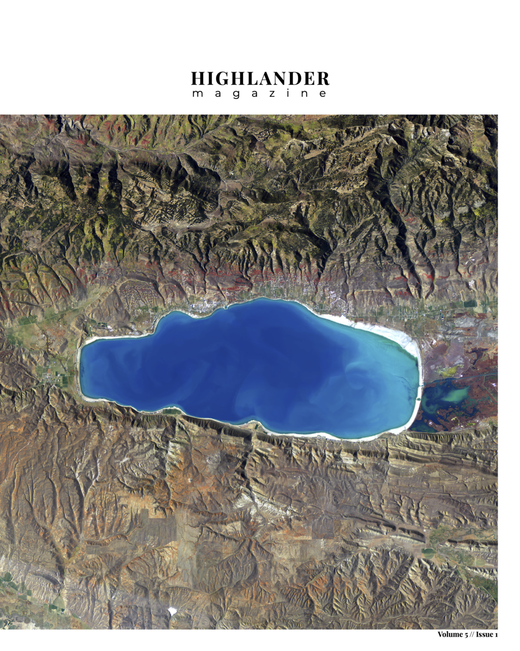
The satellite imagery of Utah found within these pages is a testament of how far humanity has come in our quest for knowledge — we are now able to look back at ourselves and our progress from space. Satellite images, like the one of Bear Lake featured on the cover, are constructed from data captured by remote sensing, which provides a wealth of information beyond what we can see. Remote sensing data is used to track changes in climate, gauge water levels in lakes and rivers, measure atmospheric pollution and compare human development across time. It is important that we respect the resources around us and study them with honorable intent. I hope this issue of Highlander helps us realize the importance of innovation and research — making a full circle to protect and understand the complex resources that protect us.
— Avery Truman
Symposium on economic growth and sustainability launches difficult conversations
Cache Valley agriculture causes air pollution, experts speak on solutions
Rest stops blossom into buzzing oases through USU, UDOT collaboration
Climate Adaptation Science minor helps Cache Valley adjust to change

