
Aggie Air reaches new heights with COA
To protect them from collision with manned aircraft, consumer drones are not legally allowed to fly above 400 feet. However, AggieAir has recently applied for and been granted a Certificate of Authorization by the Federal Aviation Administration.
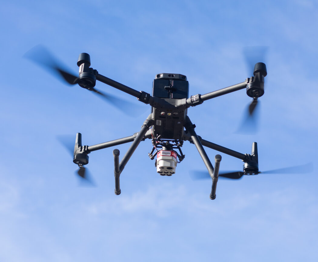
AggieAir does contract work to fly drones over places, taking pictures and collecting all sorts of different data to research an area.
“AggieAir is a remote sensing sort of platform that allows us to go capture high resolution imagery relatively quickly,” said Ian Gowing, the service center manager.
The COA allows AggieAir to fly in Class G airspace within the state of Utah. Class G airspace is anywhere up to 1,199 feet that is not in restricted airspace.
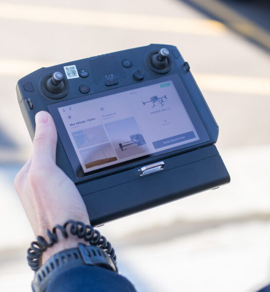
The control panel used to operate one of two drones owned by USU as seen during a flight on Dec. 5.
The new boundaries set by the COA open up opportunities for AggieAir. Because their drones can fly higher, they can now get pictures of even larger areas, making it simpler and faster to get their contracts finished.
“Prior to this approval, AggieAir would be required to submit a COA request to the FAA and wait up to 90 days for a response. If denied, the time would restart,” Aaron Whittle, an assistant professor in the aviation program, wrote in an email to The Utah Statesman. “It is very difficult to plan/schedule operations when it may take up to six months or more to get an operation approved.”
Now that AggieAir is able to fly operations more rapidly, they can take on contracts more often. As more operations are flown, it allows more students to gain experiences and opportunities that will help launch them into their careers.
AggieAir was established in 2006 by Mac McKee, director of the Utah Water Research Laboratory. According to its website, the program “focuses on the development and deployment of new technologies for use in remote sensing research and resource management applications.”
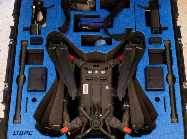
One of the two drones that is owned by USU in it’s case after being disassembled.
One company from California hired AggieAir to gather information on water consumption in their orchard. Based on the data collected, the company was able to use their water supply more efficiently during a drought.
There still are some restricted airspaces AggieAir’s drones can’t fly over for the safety of manned aircraft pilots. Most of these are places that have lots of planes, including Salt Lake City International Airport, Provo Airport, and Hill Air Force Base. These airports are categorized in their own air space. Most larger airports are Class B or C, while the height that airplanes normally fly at is in Class A.
The COA was put into effect Nov. 15 and will be valid until Nov. 14, 2025.