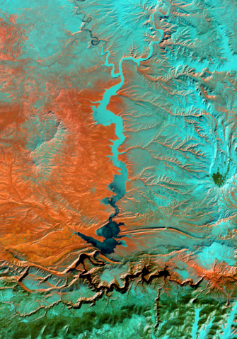
USU’s Remote Sensing and GIS Laboratory has an aerial perspective on the changes happening to Utah’s physical terrain, from the
Tag Archives: Geographic information systems
Tens of thousands of kilometers over our heads, satellites orbit the Earth at breakneck speeds. They carry with them data


